Surveying or land surveying is the technique, profession, and science of determining the terrestrial or three-dimensional position of points and the distances and angles between them. A land surveying professional is called a land surveyor. These points are usually on the surface of the Earth, and they are often used to establish land maps and boundaries for ownership, locations like building corners or the surface location of subsurface features, or other purposes required by government or civil law, such as property sales.
Surveyors work with elements of geometry, trigonometry, regression analysis, physics, engineering, metrology, programming languages and the law. They use equipment like total stations, robotic total stations, GPS receivers, retro reflectors, 3D scanners, radios, handheld tablets, digital levels, drones, GIS and surveying software.
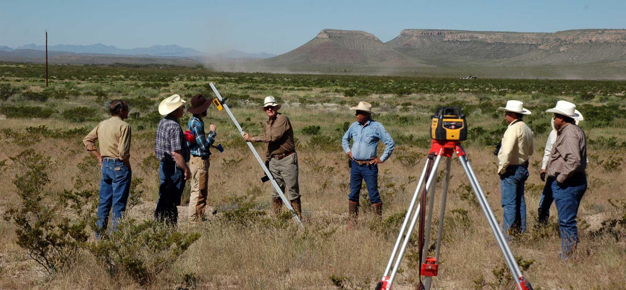 Surveying has been an element in the development of the human environment since the beginning of recorded history. The planning and execution of most forms of construction require it. It is also used in transport, communications, mapping, and the definition of legal boundaries for land ownership. It is an important tool for research in many other scientific disciplines.
Surveying is the science and art of making all essential measurements to determine the relative position of points and/or physical and cultural details above, on, or beneath the surface of the Earth, and to depict them in a usable form, or to establish the position of points and/or details. It is the art of:
- measuring horizontal and vertical distances between objects,
- measuring angles between lines,
- determining the direction of lines, and
- establishing points by predetermined angular and linear measurements.
Along with the actual survey measurements are the mathematical calculations. Distances, angles, directions, locations, elevations, areas, and volumes are thus determined from the data of the survey. Survey data is portrayed graphically by the construction of maps, profiles, cross sections, and diagrams.
Types of Surveys
Geodetic Surveying: The type of surveying that takes into account the true shape of the Earth. These surveys are of high precision and extend over large areas.
Geodetic Surveying: The type of surveying that takes into account the true shape of the Earth. These surveys are of high precision and extend over large areas.
Plane Surveying: The type of surveying in which the mean surface of the Earth is considered as a plane, or in which its spheroidal shape is neglected, with regard to horizontal distances and directions


0 comments:
Post a Comment